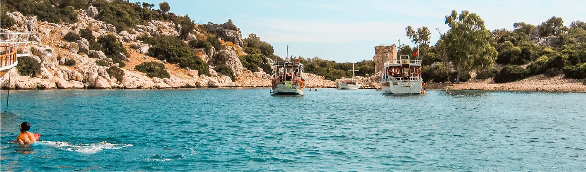

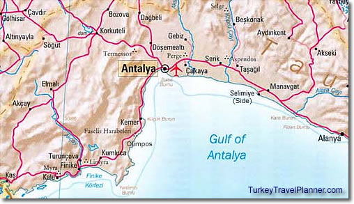
Here's the Gulf of Antalya, including the towns of Akseki, Alanya, Antalya, Beşkonak, Finike, Kale (Demre/Myra), Kas, Kemer, Korkuteli, Kumluca, Manavgat, Selimiye (Side), Selge (Altinkaya) and Serik. Olimpos is near "Faselis Harabeleri."
Archeological sites include Aspendos, Limyra, Myra, Perge, Phaselis(Faselis Harabeleri), Selge and Termessos.
Note also the Köprüçay (creek) which runs through Köprülü Kanyon National Park near Beşkonak and Selge, renowned for its river rafting.
For more detailed fold-out city plans and maps of Alanya, Antalya, Kaş & Kalkan, Kemer, Side-Belek-Manavgat, Alanya and the Mediterranean coast, click here.


 Best Travel Agencies