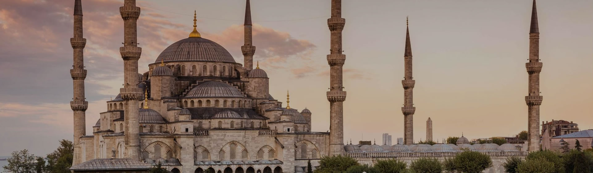

Here are free maps of Istanbul’s transportation services: airports, airport transfers, Metro, tramways, Tünel, ferryboats, and sea buses.
Remember, many Google Istanbul maps contain erroneous information. I humbly suggest that you trust my markings over those on the base maps.
Atatürk Airport
Shows the location of the city’s principal international airport, 23 km west of Old Istanbul, as well as transport stations, hotels, etc.
Airports, Docks, Stations
& Transfers in Istanbul
Map showing airport locations and how to travel from & to them.
Istanbul Metro & Tramway Map
My map of Istanbul‘s main public transit lines.
Eminönü & Karaköy Ferry Docks Map
See where to board ferries for the Golden Horn, Bosphorus cruise, the Princes Islands, and Asian-shore destinations such as Üsküdar and Kadıköy. Includes cruise ship docks.
Nostalgic Tramway
Shows the route of the Istanbul Nostalgic Tramway along Istiklal Caddesi from Taksim Square to Tünel Square.
Istanbul Tünel
Route of the 19th-century, two-station Tünel subway/underground train between Karaköy Square and Tünel Square in Beyoğlu.
Golden Horn Ferry Cruise, Istanbul
Map showing the principal sights along the Golden Horn as you take a ferry cruise from the Galata Bridge to Eyüp.
Bosphorus Cruise Map
All about taking a cruise on the Bosphorus toward the Black Sea.
Emniyet Garajı Map
Map showing the location of the Emniyet Garajı, a bus terminal with routes to Armenia, Azerbaijan, Bulgaria, Georgia, Kosovo, Iran and Romania.
Pendik-Yalova Car Ferry
Shows how to cut a lot of heavy driving on your route from Istanbul to the southeastern shore of the Sea of Marmara.
| Google Istanbul Maps |


 Best Travel Agencies