
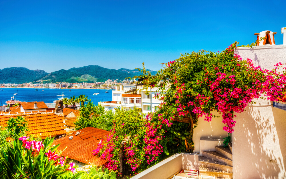
Known to Turks as Green Marmaris (Yeşil Marmaris) because of its pine- and olive-clad mountains, the resort city of Marmaris is set on a broad mountain-ringed bay 3 hours by road east of Bodrum, 2 hours by road west of Dalyan (map), and just across the water from the Greek island of Rhodes. It's among Turkey's most popular seaside resorts for foreign tourists coming on packaged holidays.

What to Do in Marmaris
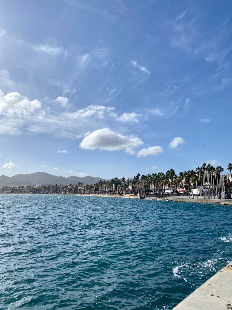
Tourists fill the town's many hotels, small and large, promenade along its palm-lined waterfront, set out on jeep safaris and yacht cruises, go in for water sports, laze on the beaches (particularly Cleopatra Beach on Cedar (Sedir) Island), and have a good time.
Marmaris is also the hub for an ever-expanding resort area which includes the separate town of İçmeler across the bay, and smaller vacation getaway villages on the Bozburun Peninsula and Reşadiye Peninsula, which jut into the Mediterranean to the west and southwest (map).
History of Marmaris
Holiday-makers are not the first foreign visitors to come to Marmaris. English admiral Lord Nelson readied his fleet in this perfect natural Mediterranean bay in 1798, then sailed out to defeat Napoleon's navy at the Battle of Abukir.
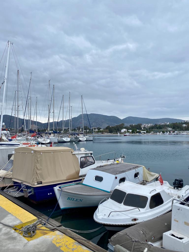
Since then, the beautiful natural harbor of Marmaris has been pretty quiet. That is, until the tourism boom of the 1990s made it Turkey's premier yachting port for Blue Voyage yacht cruises. Sleek boats now crowd its modern full-service marina and jostle for space along the waterfront promenades.
Its small fortress/castle is now a museum.
Marmaris Today
Ferries cruise to and from the Greek island of Rhodes (map) several times daily during the summer (less frequently off-season), bringing yet another flow of visitors. Here's the full ferry information.
Marmaris's small market district and covered bazaar in the center of town are usually crowded with foreigners. Resort complexes have sprung up all around the bay, adding a lot of white concrete to. Those who find Marmaris overdeveloped and noisy flee to colonies like İçmeler, Datça, Orhaniye, and Selimiye out on the peninsulas that jut west and southwestward into the Mediterranean. You'll see beehives everywhere, set to gather Marmaris's famous honey. You'll also see workshops quarrying and shaping the region's famous marble.
Maps of Marmaris & Mediterranean Turkey
—by Tom Brosnahan

 Best Travel Agencies